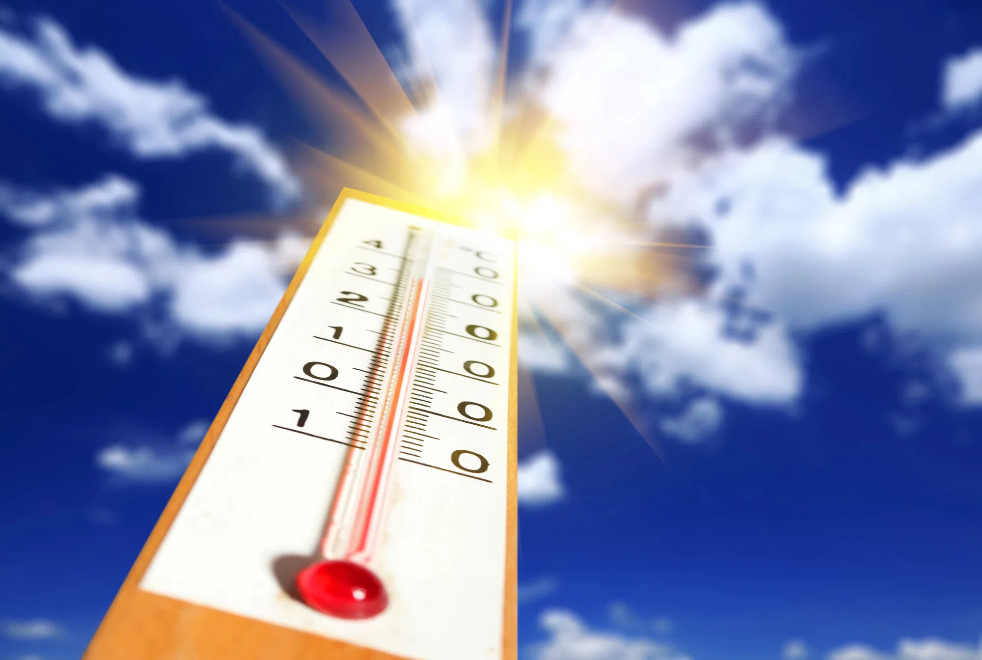
Saturday is expected to be a scorcher in Northwestern Ontario.
Environment Canada is forecasting that Thunder Bay, in particular, has the potential to break a record that has held for more than a century.
“It will definitely be close,” says Environment Canada meteorologist Steven Flisfeder. “Its definitely going to be hot in the mid-20s but we do have a chance of showers that may inhibit that full heating potential so it remains to be seen if we’ll get there.”
With a forecast of 27 C on Saturday, Thunder Bay could potentially break the previous record of 24.4 C, set in 1922.
The average temperatures for the region this time of year is normally in the mid-teens.
The heat is also expected to extend to Sunday, with forecasts putting the mercury in the mid-20s, however Flisfeder says the chance of breaking a record isn’t as likely.
“The record for October 5th is 26.7 so it’ll be a little harder to break that record,” he says, noting cloud activity and possible showers could restrict the heat potential. “(But) it’s still going to be warm throughout the weekend.
“The warm temperatures will be a similar story right across Northwestern Ontario with regions further west reaching to Kenora seeing temperatures in the mid-20s all weekend.
However, a strong low pressure system will influence weather patterns in those more western regions, which could increase the risk of rain and therefore reduce the potential for escalating heat.
“It’s less likely that the areas further west towards the Manitoba border will get up towards those record numbers,” says Flisfeder. “But it’s not impossible.”
